NOTE: The timestamp on all images is in Central Daylight Time - therefore it is one hour off on all but the first image
|
|
 |
 |
|
|
|
 |
 |
|
|
|
 |
 |
|
|
|
 |
 |
|
|
|
 |
Go on to the next page.
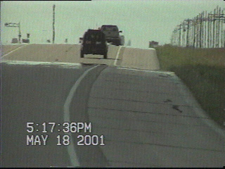
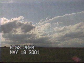
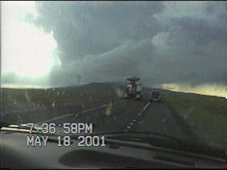
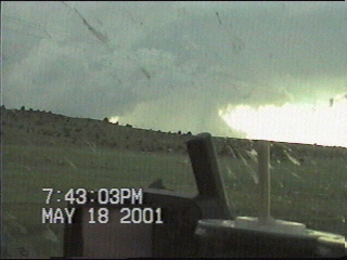
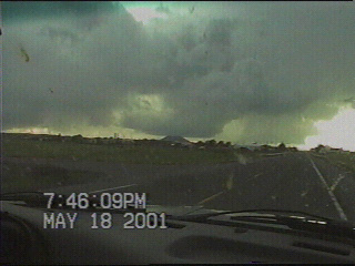
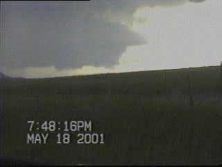
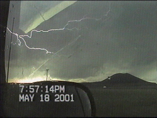
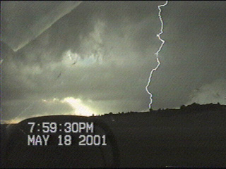
An MCS charged across the TX panhandle and all of OK overnight, effectively ending the threat for severe weather in these areas today. After looking at data, Jay and I figured that there would be enough instability and upslope flow for storms in northeastern New Mexico today. We called Shawn in Dodge City, who had come to the same conclusion. We agreed to meet back up again at a rest area near Clayton NM, where we watched storms try to go up over the mountains to our west-northwest. After a while we got back on the road and continued to meander up US 64 to see what this storm would do. We stopped again northwest of Clayton. For a while we weren't sure if this storm was going to do anything and were considering heading back towards Amarillo. But we decided to be patient and continue to follow the storm. Our patience paid off big time as the storm evolved into a gorgeous barber pole LP supercell. After hanging out between Capulin and Des Moines to watch the storm, Jay and I drove back to a rest area southeast of Des Moines at sunset. From here we marveled at the LP's updraft as it spun like a top and its waist contracted to 14 inches. Add some awesome backlighting by the setting sun and some breathtaking scenery and you have yourself an unbeliveably picturesque storm. And this area wasn't even under a severe thunderstorm watch -- nor was it outlooked for severe weather by the SPC!!! That's why you gotta learn how to forecast on your own, kids -- you'll miss out on some good stuff if you go by what the SPC says all the time.
NOTE: The timestamp on all images is in Central Daylight Time - therefore it is one hour off on all but the first image
Go on to the next page.