|
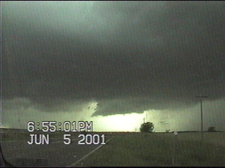
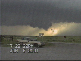
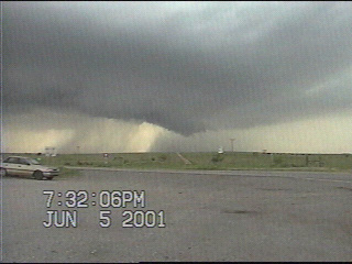
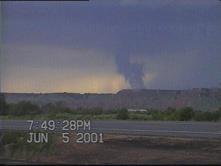
Wall cloud begins to form near Quinlan. Get a load of that clear slot!!!!!
|
|
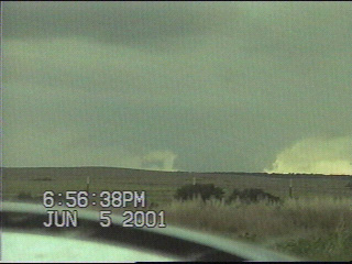
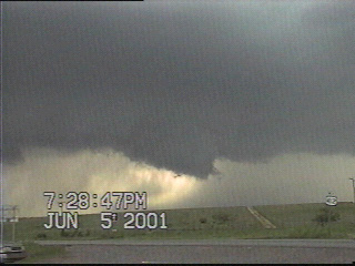
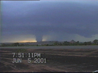
The terrain helped block the bases of low-hanging cloud features, making for some interesting tornado look-alikes. But this "wedge" was not rotating, nor was it in contact with the ground.
|
|
|
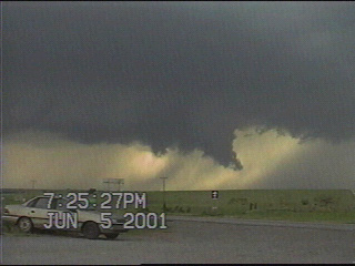
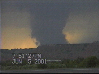
The same wall cloud from the first image, as seen from Bouse Junction.
|
|
This intersection proved to be a great vantagepoint to watch the storm.. |
|
|
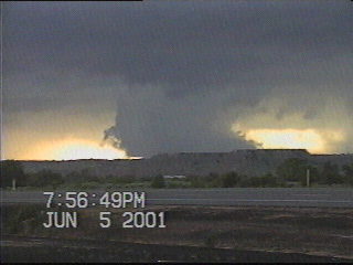
Occasionally the wall cloud would begin to take in a lot of scud and show rapid vertical motion and rotation -- as it was right here.... |
|
...and here.
|
|
|
For most of the time I sat at this intersection, I did not see very many chasers...
|
|
...but I did see the 4-Warn Chase Team, and wondered out loud why they ventured into the tough terrain to go after this storm.
|
|
|
The last shot I got of the wall cloud before I moved east several miles on US 412.
|
|
By the time I pulled off the side of the road again, the storm had weakened quite a bit.
|
|
|
This news helicopter from one of the OKC stations had the best seat in the house....
|
|
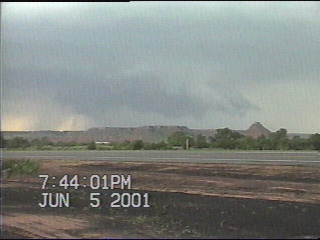
The updraft begins taking in a narrow band of condensation... |
|
|
It looks like the condensation is coming up off the bluffs, but that's the illusion this terrain creates....
|
|
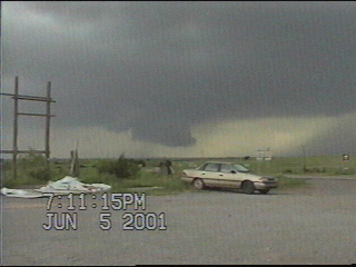
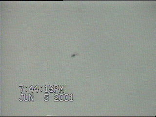
This band of condensation became quite thick after a few minutes.... |
|
|
...many untrained observers would probably report this as a tornado. This feature did have some rapid vertical motion but no rotation.
|
|
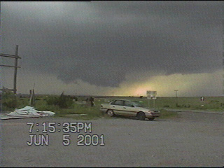
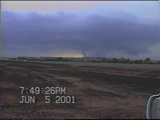
...and as this feature moved closer to my location, it was clear that it was not even in contact with the ground. The storm quickly began to dissipate around this time. |
|