may 15, 2002
gustnadofest in southwest kansas
Shawn and Ed met up with Jay and Jeff in Dodge City KS at 4:30pm. High based storms were already going on just west and southwest of the city, so they headed south on US 283 to get ahead of them. With the lack of moisture (surface dewpoints only in the mid to upper 40s) ahead of the dryline, large hail and gusty winds were the only things they were expecting to see out of these cells. It would not take long however to see that they would be in for quite a treat today....
|
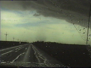
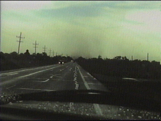
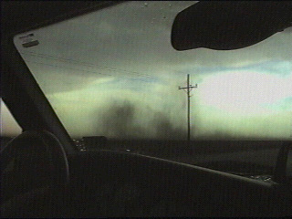
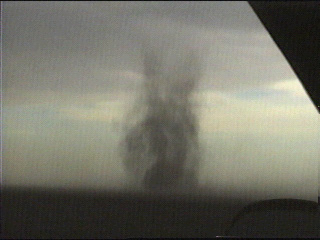
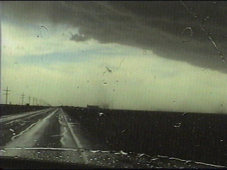
At 5pm, they witnessed their first of many gustnadoes just south of Dodge City. Pictured is the second gustnado they witnessed |
 |
 |
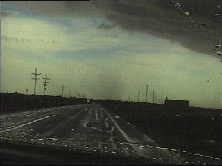
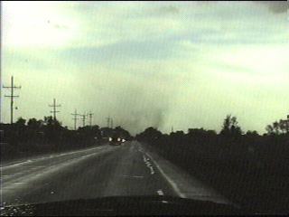
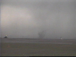
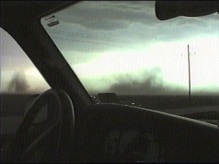
Many of these gustnadoes had a small but well-defined area of rotation in the cloud base directly above them. |
|
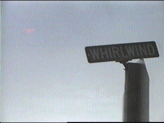
How about that? They witnessed one of the gustnadoes from Whirlwind Way!!!
|
 |
 |
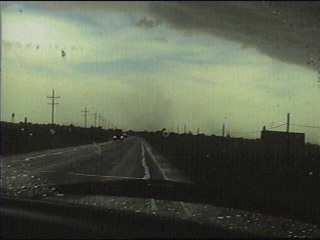
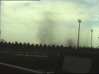
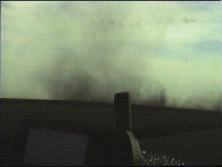
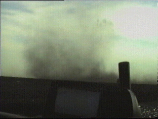
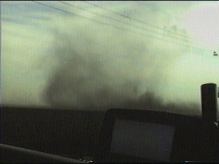
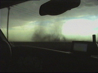
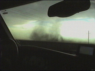
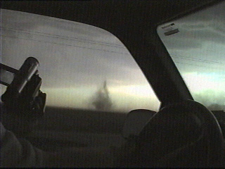
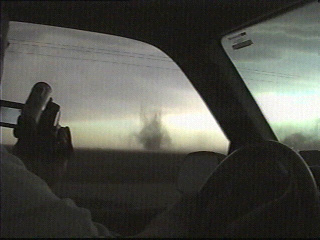
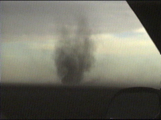
The fourth and largest gustnado they witnessed today travelled just south of Minneola KS. This one was about 400 feet wide and had multiple vortices. Following is a stunning sequence of snapshots as it crossed US 283 just south of town. |
|
As the fourth gustnado dissipated, a new gustnado formed just to its northeast. Following are snapshots of the fifth gustnado.... |
 |
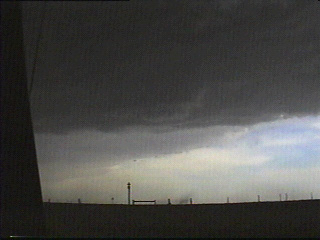 |
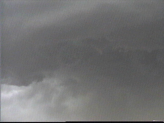
The seventh and final gustnado Jeff videotaped today, with rotation evident in the cloud base directly above it.
|
|
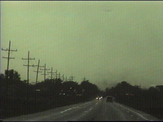
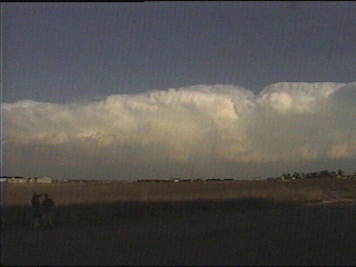
Shawn and Ed marvel at the retreating line of thunderstorms from Garden City KS. |
 |
Go on to the next page.