|
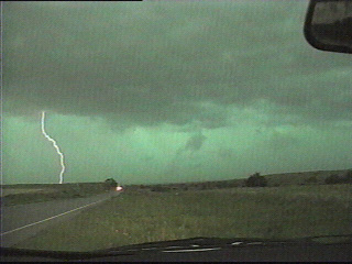
As I zigzagged south and east through northwestern OK to avoid the oncoming outflow and precip from the southward moving MCS, I witnessed this nasty looking green sky northeast of Cedar Springs. The precip associated with the greenish appearance was still several miles to my northeast by the time I got to Fairview, so from there I was able to escape to the south without getting hailed on.
|
|
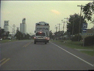
Turns out I wasn't the only one who decided to call it a day once it appeared outflow was going to reign supreme. Here is a crew from KFOR TV-4 in Oklahoma City heading back through Watonga.
|
|
|
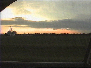
I also noticed this long inflow band to my west while heading back through Watonga. This band was feeding into a storm up near Woodward.
|