|
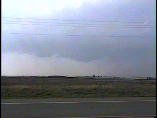
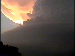
Looking off to the west northwest at a high based wall cloud north of Hammon OK on Hwy 34 at 4:55pm CDT.
|
|
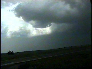
A nice looking rear flank downdraft clear slot, looking northeast between Rhea and Burmah OK on Hwy 47 at 5:29pm. Winds of 70 mph were reported south of Leedey OK 17 minutes before this shot was taken.
|

|
|
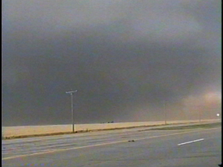
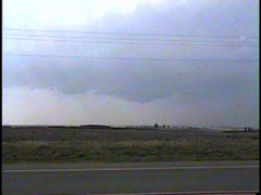
Looking northwest from the north part of Geary OK at 7:25pm. There was a tornado occurring somewhere in the rain at this time, but there was no chance of seeing it in the dark rainshafts and with the inflow jets kicking up blinding clouds of red dirt.
|
|
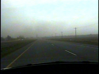
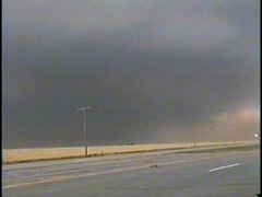
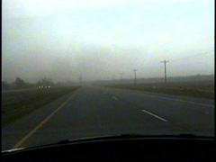
Fleeing south through Geary OK at 7:27pm as bands of dirt blow across US 281.
|
|

|
Looking northwest from southeast of Piedmont OK at 8:43pm at the magnificent mothership structure of the high precipitation supercell.
|
|
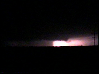
Looking northwest on US 177 near Wellston OK about 1 mile north of the Hwy 66 intersection at 10:13pm. Lightning is illuminating something interesting looking in the background.....more details HERE.
|

|
Back to Storm/Chase Summaries
Back to Jeff's Virtual Cyclone Cellar
This page was last updated on 6-01-04 at 0522 CDT