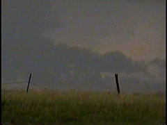
By around 4:15 the wall cloud had gotten much larger and lower to the ground
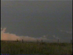
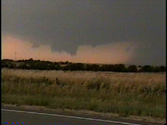
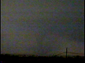
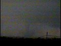
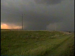
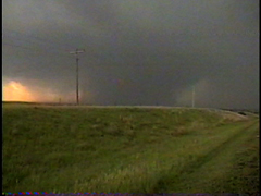
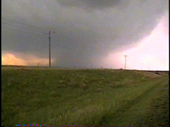
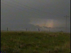
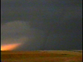
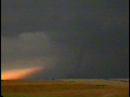
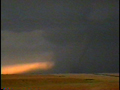
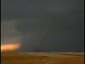
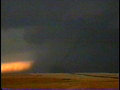
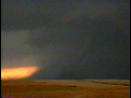
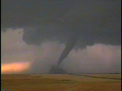
As I continued east to stay ahead of the precip, I looked back to my west-southwest at 4:22pm and saw a large stovepipe tornado in progress. I quickly pulled over and rushed out of my car to get video. By the time I was able to get my tripod set up rain curtains were rapidly wrapping around the tornado, dimming my view of it. Here are a few very faint captures I was able to get of the tornado before I lost sight of it.
 |
 |
 |
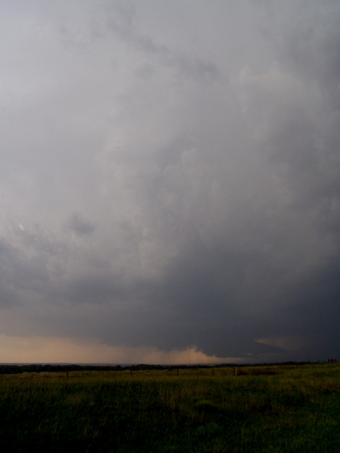
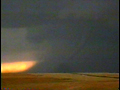
Before long the tornado was hidden in a massive column of rain
 |
 |
 |
 |
 |
 |
|
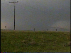
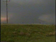
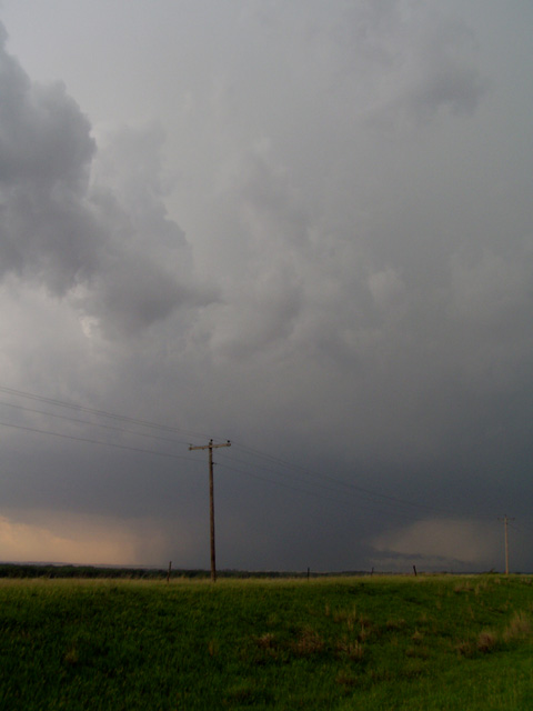
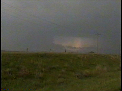
One thing the rain didn't obscure was an impressive inflow band which fed into the tornado from the north-northeast.
 |
 |
 |
After being delayed briefly by construction workers who were still out doing work on the road despite lightning striking nearby, small hail falling, and a large rain wrapped tornado heading in their general direction - I went east to Stockton, then went south on US 183. A few miles south of Stockton I was able to get a good view of the storm again, and at around 5:35 began to make out another large stovepipe tornado occurring in front of a precip curtain. After pulling over and getting out of the car I noticed ANOTHER truncated cone tornado was simultaneously in progress just to its north. Contrast was not very good so I put numbers beneath each tornado on the following capture.
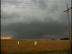
Now I was faced with the dilemma all chasers dream about, which tornado do I put the viewfinder on? Since the stovepipe to the south had slightly better contrast, I chose to video this one first. Again, contrast isn't the best but you should be able to make it out in front of the rain curtain.
 |
 |
 |
 |
 |
 |
 |
I wasn't able to get too many digital images since I was mostly focusing on video, but here's one I did get.... 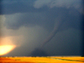
Here's the one high contrast video capture I was able to get when the tornado was backlit by lightning....
After that tornado roped out, I put my viewfinder on the tornado to its north, which had become quite large. Contrast was very poor so I put in arrows pointing to the tornado.
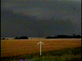 |
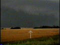 |
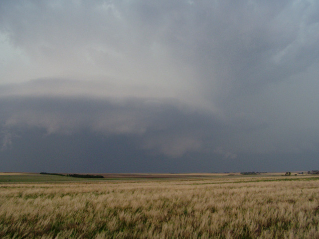
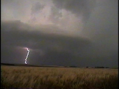
I ended up losing sight of this tornado in the rain. After this I decided to move on to another storm to its southwest. I went west of Hays on I-70 where I caught sight of this amazing storm structure. I wasn't able to see any tornadoes out of this storm, although I imagine that it probably did produce one (or more) while I was looking at it.
 |
 |
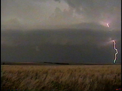
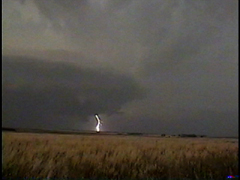
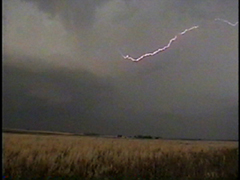
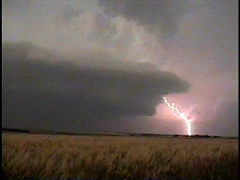
Lightning was quite impressive with this storm as well.
 |
 |
 |
 |
 |
The storms then got undercut by cold air and met their demise. But not before producing a nice display of mammatus.
