|
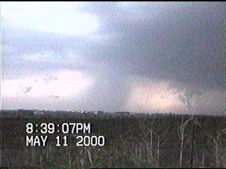
At about 8:37pm, Shawn shouted over the two-way radio "Tornado on the ground!". But by the time we could pull over, the tornado had become totally wrapped in precipitation. |
 |
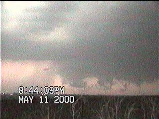 |
A new wall cloud quickly developed south of the rain-wrapped storm. Interesting lowerings could be seen as lightning backlit the storm - the lowering on the right looks particularly suspicious, especially after seeing the following image.... |
|
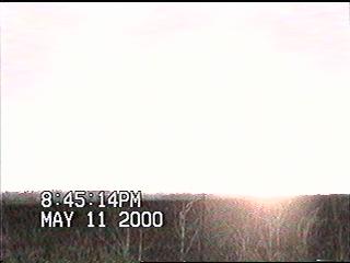
Power flash!!!! Hmmm..... Since this flash occurred very quickly and in an area where there was continuous lightning, I did not perceive this as a power flash. Unfortunately, I did perceive a pair of power flashes which occurred further to the south seconds later that were probably caused by an inflow jet. Because of these flashes, I pointed my camera towards the area where they occurred and away from the wall cloud. |
 |
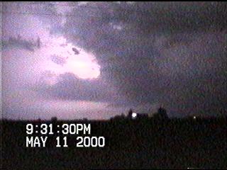 |
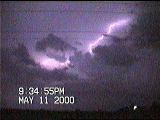
The storms continued to rage across northeastern Iowa after dark, giving us a fantastic display of lightning. Most of it was in-cloud, and this particular flash illuminated another possible wall cloud (just above the house). |
|
There were also a lot of nice anvil crawlers as well. Video capture does not do this type of lightning justice - a multi-second exposure on slide or print film is still the only way to truly bring them out on a still image. Hopefully Ed got some awesome stills from this storm. |
 |
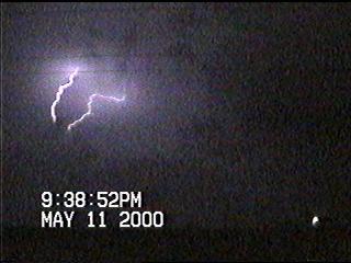 |
One last image of a "double bolt" before we get in our vehicles and head towards Waverly. |