|
|
 |
 |
|
|
|
 |
 |
|
|
|
 |
 |
|
|
|
 |
 |
|
|
|
 |
Go on to the next page.
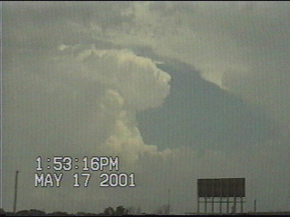
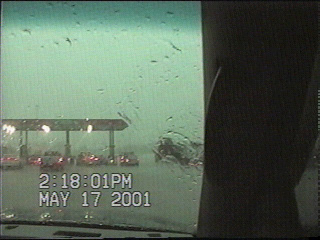
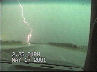
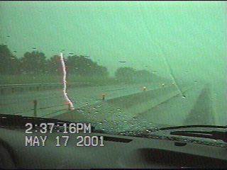
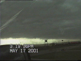
We started the day in Colby KS with hopes we would actually see something today along the front near the KS/OK border. We had hoped to get south of the front, then begin heading west towards the Panhandle region. But storms began firing along the front near Wichita early in the afternoon, and we would have to drive through them in order to get on the other side of the front. If that wasn't enough, we had heavy traffic in Wichita to contend with. Shawn and Ed got stuck in the traffic and ended up losing communication with us as Jay and I continued south on I-35. Jay and I ended up driving through some torrential rain and hail up to the size of dimes between Wichita and the KS/OK border, and saw several gustnadoes after we crossed back into Oklahoma. We drove to Enid waiting to hear back from Shawn and Ed but never heard back from them so we went back to my apartment in Norman. Later that evening, we found out from Shawn that he and Ed got caught in the hail core and had their vehicle dented by golf ball sized hail. They went to the library in Wellington KS to check data, then drove out to the OK panhandle where they caught an imposing shelf cloud on an HP supercell near Guymon. From there they went to Dodge City KS and called it a night.
Go on to the next page.